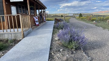
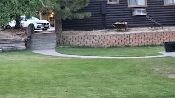
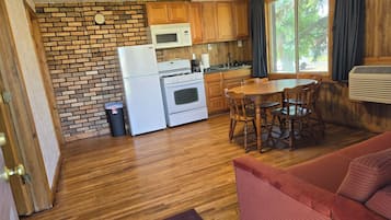
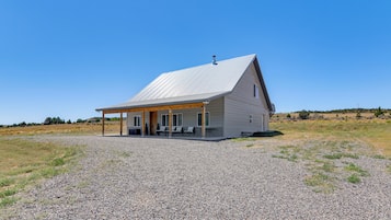
Ting at lave i Alton
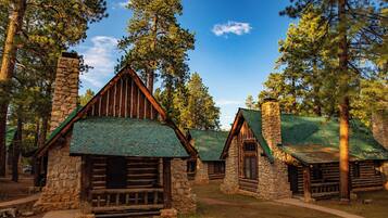
Alton, Utah, tilbyder en dejlig flugt for udendørsentusiaster med spændende eventyr og betagende natur. Besøgende kan nyde aktiviteter som skiløb på lokale skisteder, udforske rekreative områder og tage på sightseeingture. Med lokale attraktioner som golfresorts og forskellige campingmuligheder er Alton perfekt for dem, der søger både afslapning og eventyr i et malerisk miljø.
Shopping
Den nærmeste shoppingoplevelse er på de lokale markeder, hvor du kan finde unikt kunsthåndværk og souvenirs. Hvis du er klar til en køretur, så besøg Cedar City Town Center, cirka 48,3 km væk, med et udvalg af butikker, herunder modebutikker og gavebutikker.
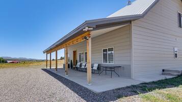
Rekreation
Alton Wellness Retreat tilbyder rolige omgivelser og holistiske terapier, perfekt til afslapning og foryngelse. Nyd yogasessioner, meditation og spa-behandlinger midt i storslåede naturlige landskaber. For udendørs sjov, udforsk nærliggende vandrestier, fiskesteder og betagende udsigter, hvilket sikrer en tilfredsstillende blanding af velvære og eventyr.
Eventyr
Udforsk de betagende landskaber i Zion National Park, hvor vandrestier som Angels Landing tilbyder fantastiske udsigter og spændende højder. For en unik oplevelse, prøv canyoning i slot-kløfterne, naviger gennem smalle passager og levende klippeformationer, der vil efterlade dig i ærefrygt.
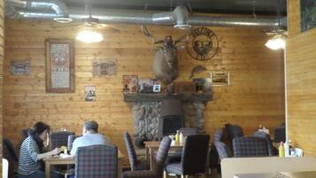
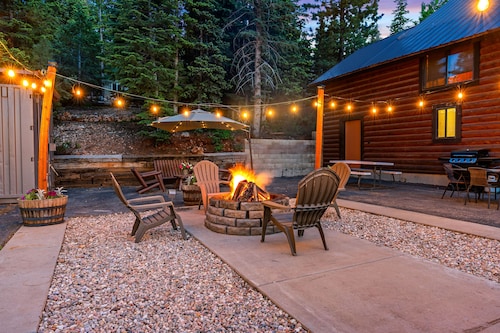
Natteliv
I Alton tilbyder den lokale pubscene en charmerende atmosfære med levende musik og venlig snak. De nærliggende byer har hyggelige barer og restauranter, perfekte til en afslappet aften. Gå ikke glip af de lejlighedsvise udendørs arrangementer, der viser lokalt talent under stjernerne.
*Afstande måles i en lige linje; faktiske kørselsafstande kan variere afhængigt af ruten.